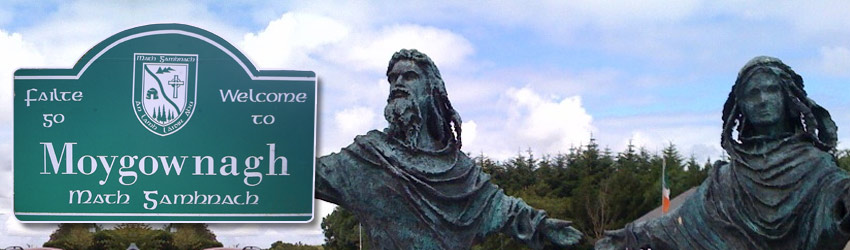
Moygownagh Loop Walk (15km)
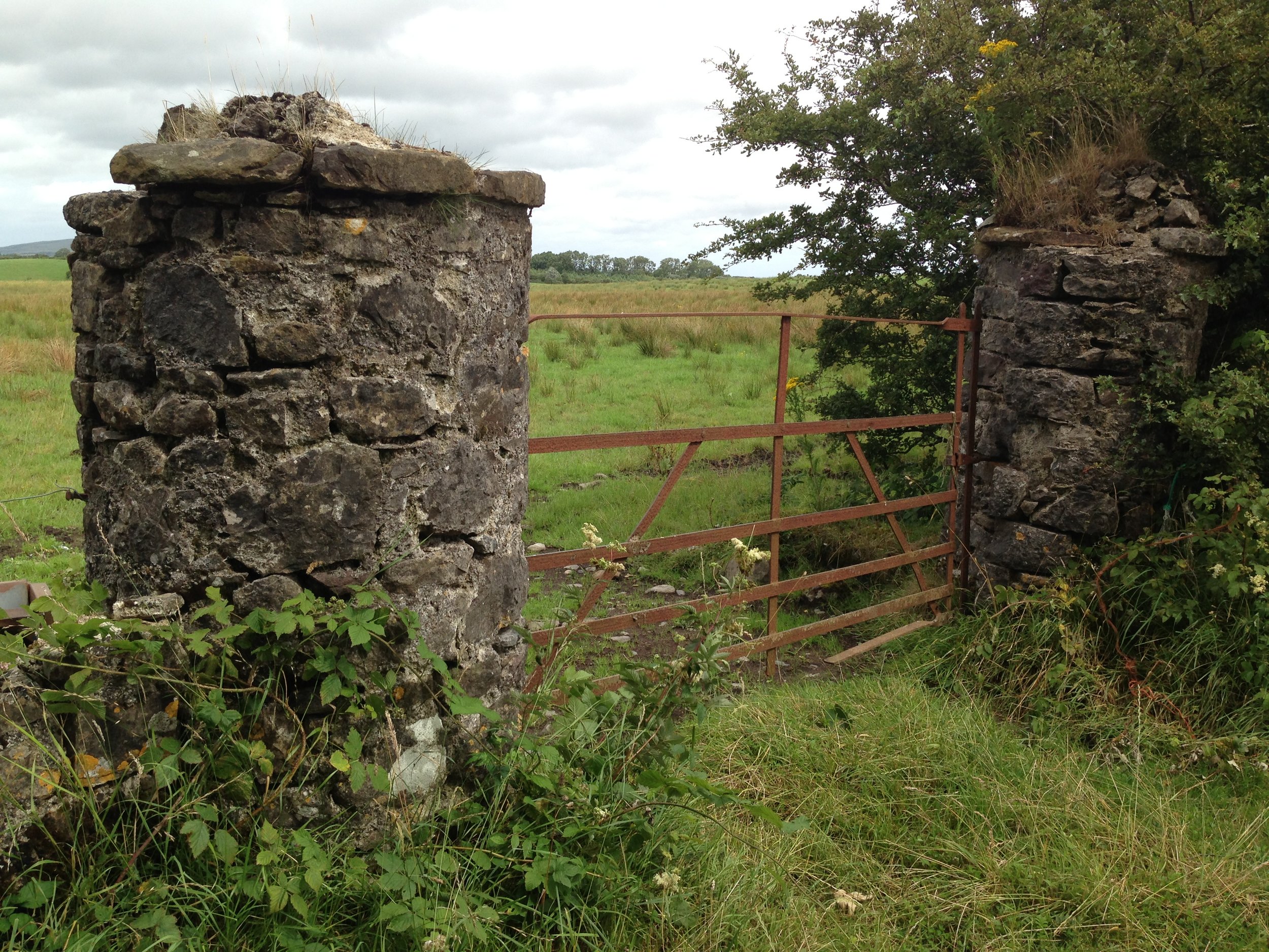
Using the RED arrows walkers may experience the unique beauty of the 15km Moygownagh Walk, which begins near St. Cormac's church in the village. 6,000 years of history unfolds itself on this trail, as we gradually travel west from green drumlin belt farms of the Moy-Valley to the blanket bogs of North-West Mayo, via Blanemore Forest on a ridge that overlooks the ancient pine forests of the Bronze age, which lie preserved as “bog-deal” logs in the cut-away bog. Blanemore Forest Walk is part of this loop walk, with specially laid rubber matted boardwalks and information signs beckon the exploration of the sacred tombs and field walls of our first Neolithic farmers. Visitors may walk among the mysterious standing stones of the bronze age and sit with the brooding dark beauty of Lough Naweela. Returning back towards the village you pass through the south gate of the forest, and for 4km walk through the Forrew Bog national heritage area (NHA) – one of the good examples of a lowland blanket bog considered an extreme hyperoceanic variant of the habitat type, found almost nowhere else in the world. Continuing on you will walk into the beautifully wooded country lane that skirts a former landlord estate. Please be advised that this a private property so keep to the signposted walk, do not leave the public road nor enter the grounds of the estate. Continue along this ‘old boreen’ by following the red arrows which link back with main road to the village. The trail may be walked or cycled.

Moygownagh Loop Walk is managed by Moygownagh Community Centre. Email moygownaghmanager@gmail.com for further information or to report any issue with our walk.
Moygownagh Community Centre, results of safety works to remove trees along perimeter of Moygownagh Loop walk at our sports field
Safety works completed along the Moygownagh Loop Walk (November 2022)
Supported by a grant for Community Trail Organisations to undertake maintenance works on Sports Ireland Registered trails, Moygownagh Community Centre engaged the services of PTB Hire Ltd to remove the trees along the Moygownagh Loop Walk, on the perimeter of Moygownagh GAA sports field, during November 2022. Thanks to Petie for the superb work which was done quickly and without disturbance and to the Moyles family for kindly allowing access where required. Moygownagh Community Centre also thanks An Pobal and the Dept. of Rural and Community Development for their funding to ensure the safety works could be completed.


Trail Head Directions: Walk begins in the picturesque Moygownagh Village between St Cormac's church and Mitchell’s Centra Shop. Follow the R315 road towards Ballycastle, passing the GAA Football Pitch and community centre. Take the first by-road (on left) after a distinctive ‘humpback’ bridge. Follow the RED ARROW signs.
Trailhead: 54.1607125, -9.3457038 - at St. Cormac's Church in Moygownagh Village.
Estimated Completion for Average Walker: 3hrs – 3hrs 30min. Are Dogs Allowed?: Yes - on a leash please.
Terrain: Surface Road, Country Lanes, Forestry Road, Bog road, Gravel Paths; suitable for buggies.
Directions: Follow the Red Arrow Waymarkers (Red arrow on white background)
Ascent: Highest point is 60m in Blanemore Forest mid-way on the trail in a gentle incline.
Minimum Gear: Walking – Treking Shoes and Rain-Gear, Snacks & Fluids, Guide Book.
Services: Moygownagh Village – Shop, Toilets, Food Court, Bar.
Distance: 16km, Trail Format: Loop, Grade (Difficulty): Moderate.
Moderate Grade Definition: Will include predominantly Class 3 trails but can include sections of Class 1, Class 2 or Class 4 Trails (typically for no more than 30% of the route distance). Overall the route will have rough underfoot conditions and may include uphill sections taking up to 10 minutes to walk.
Moderate Trails are Suitable For: People with a moderate level of fitness. Specific outdoor walking footwear and clothing required.
Further details can be found in the document: Classification and Grading for Recreational Trails