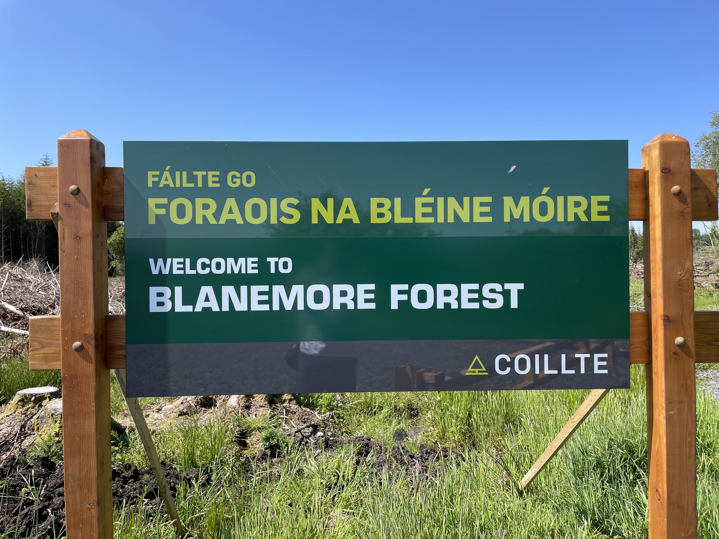
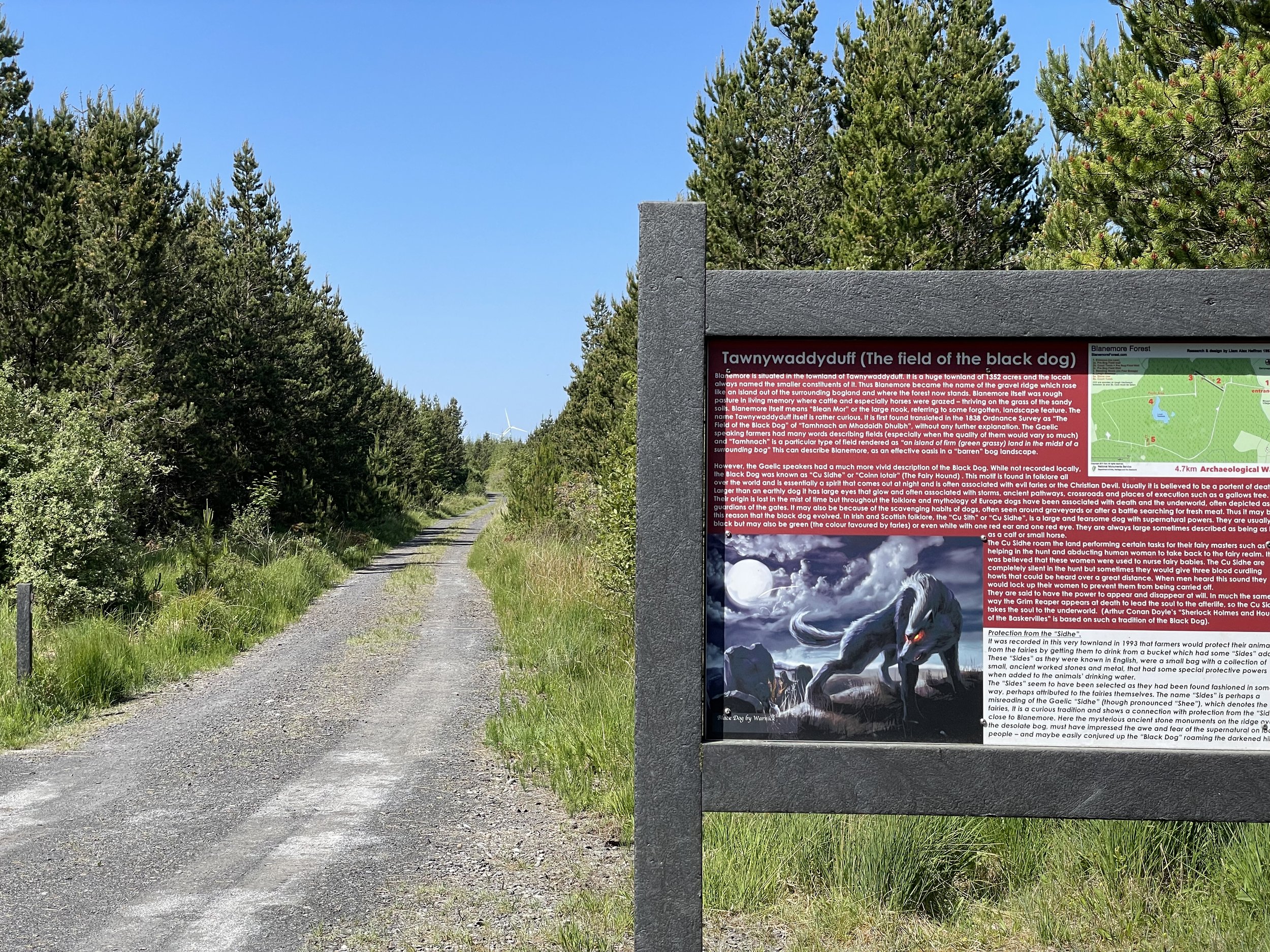
Siúlóid Forais na Bléine Móire - Blanemore Forest Walk
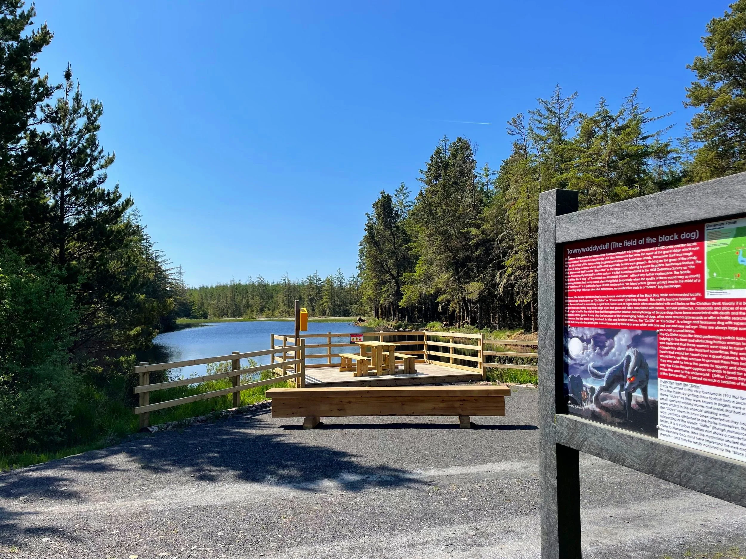
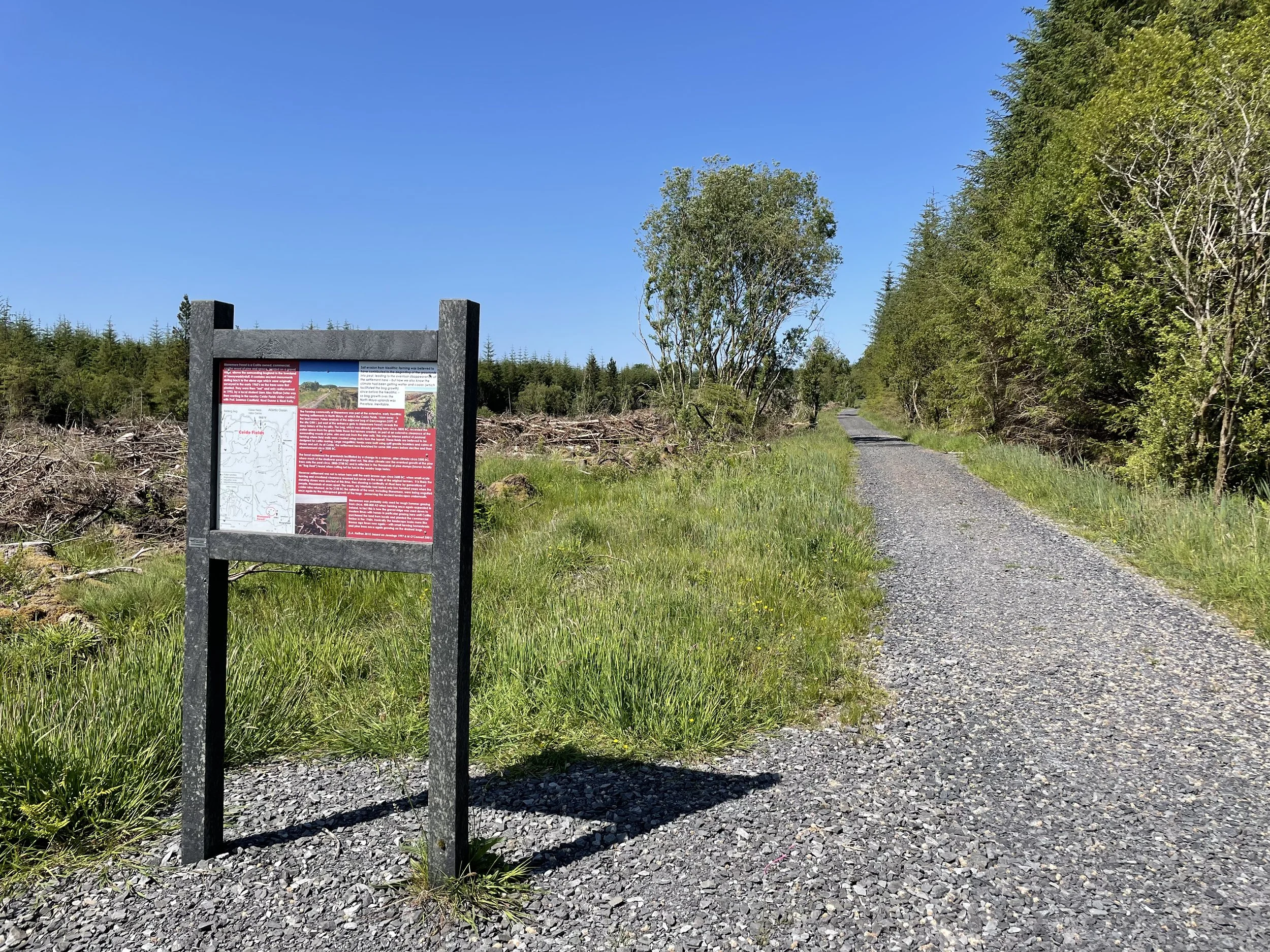
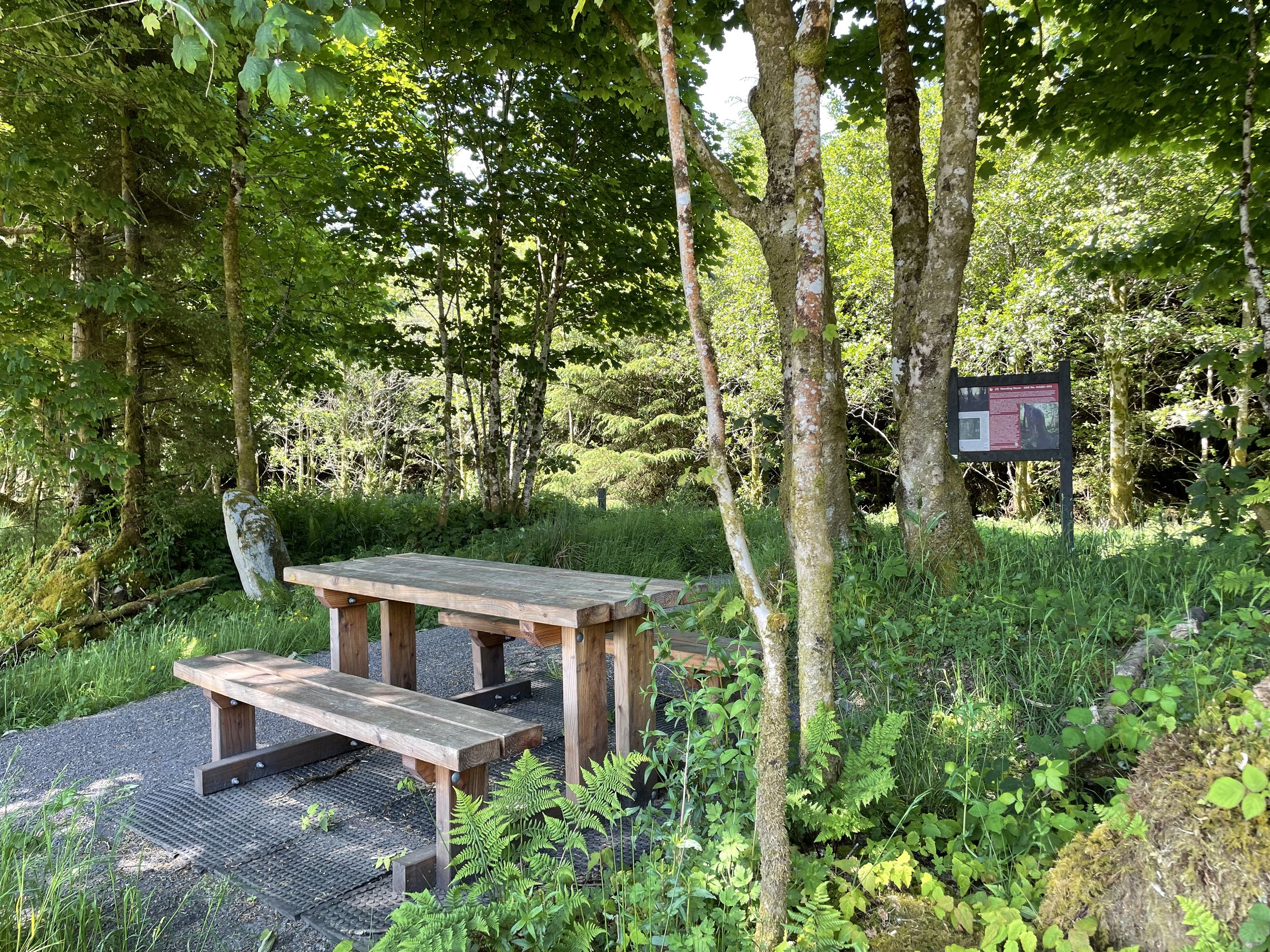
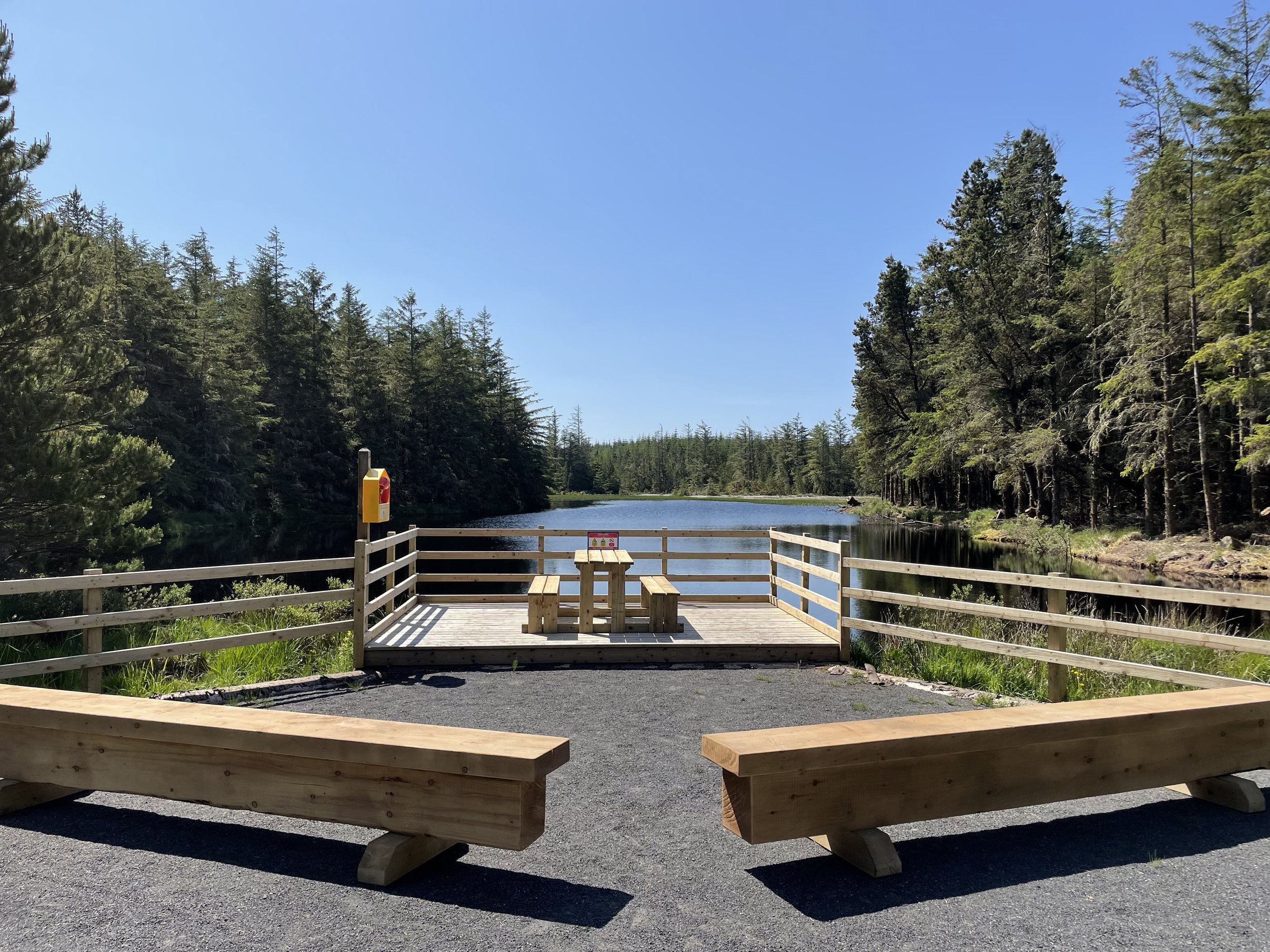
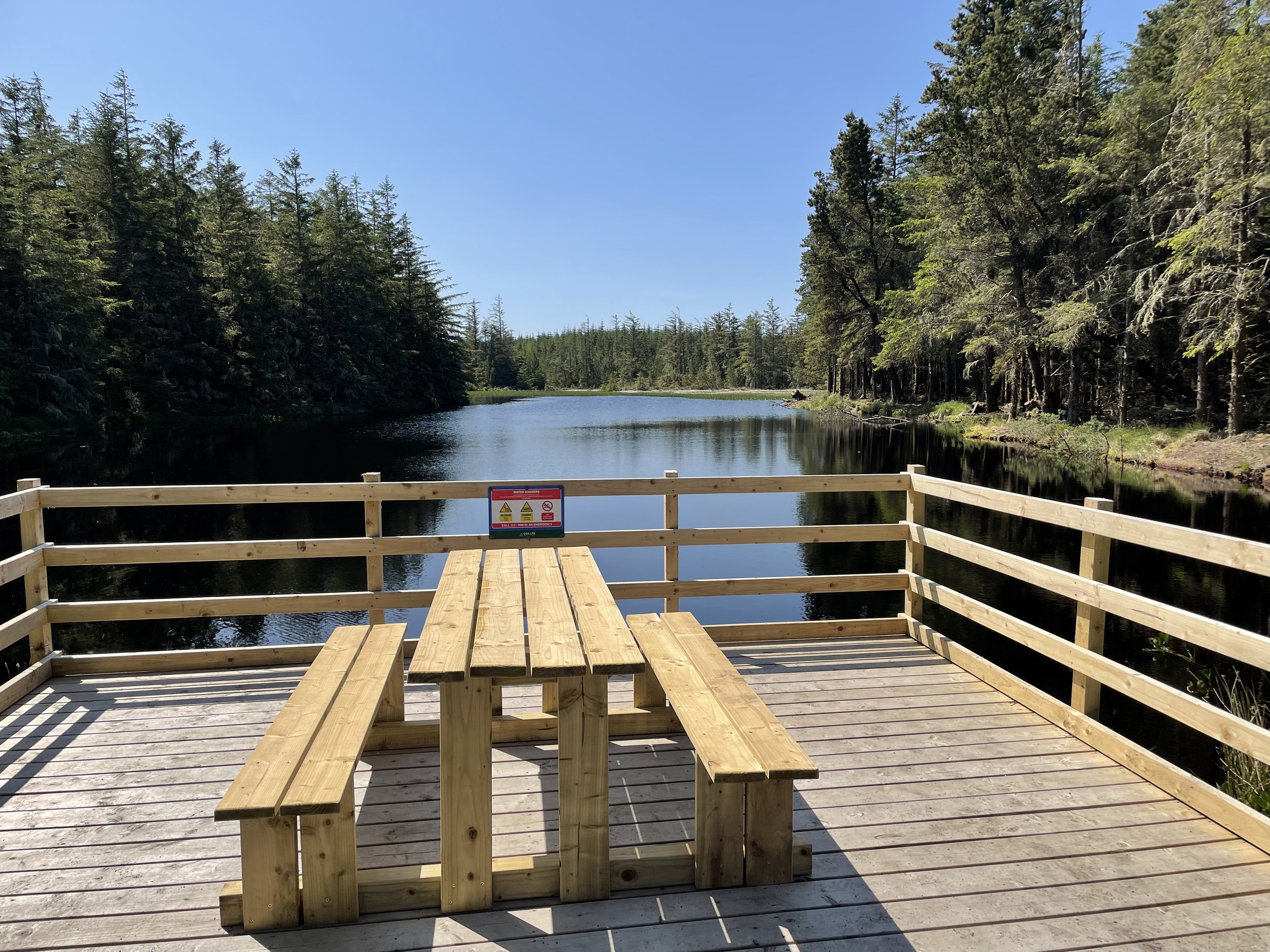
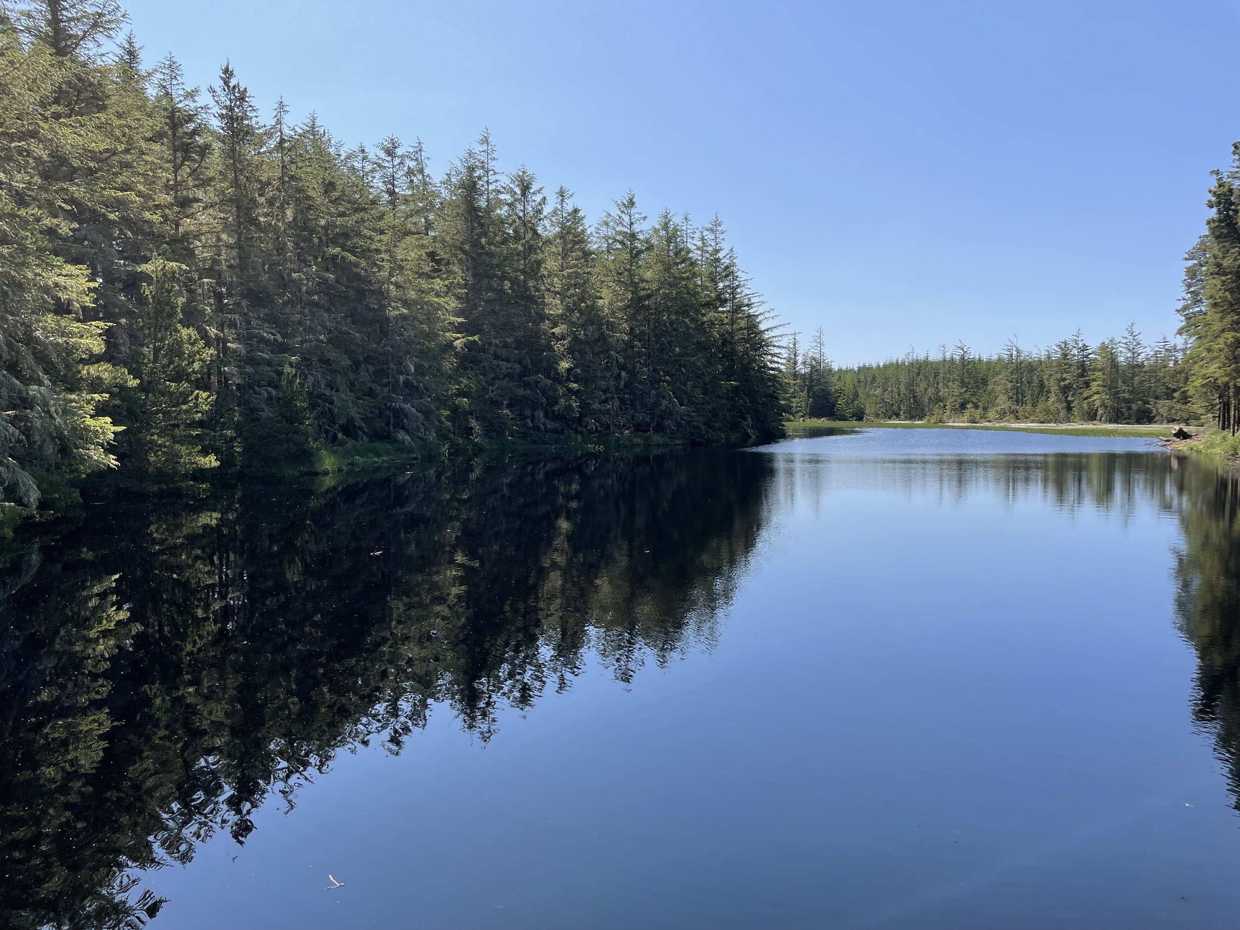
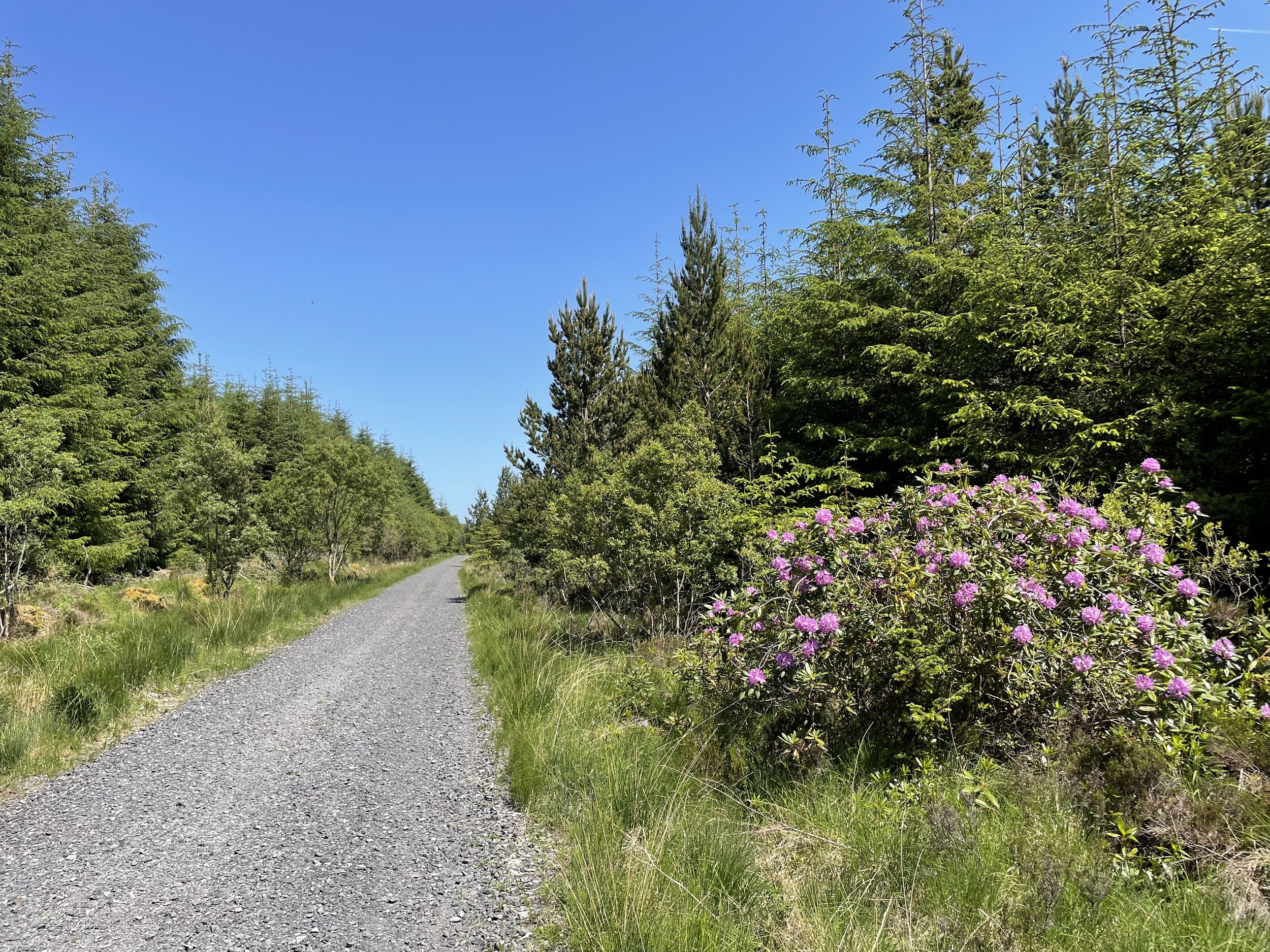
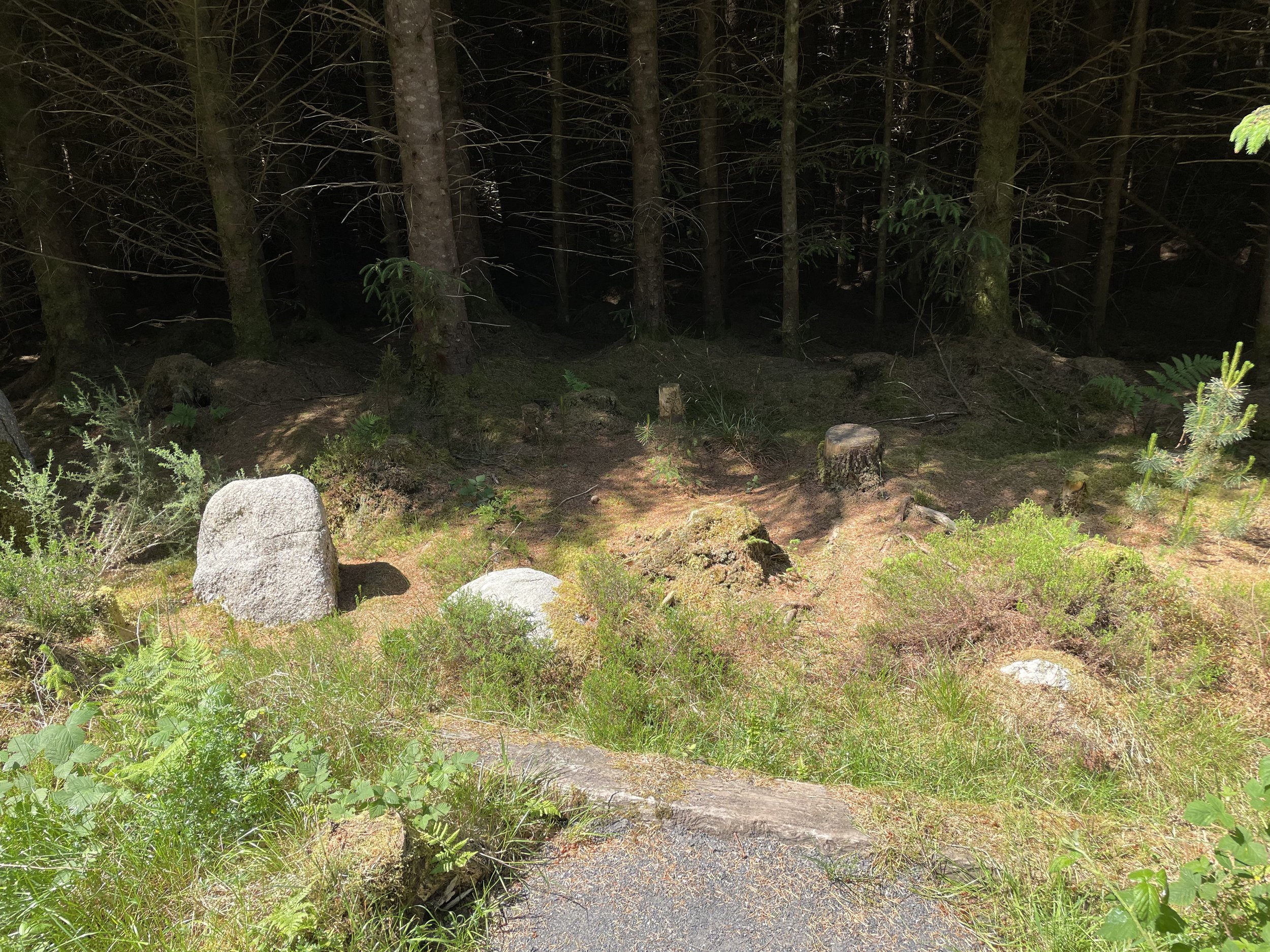
6000 years of history lie in this conifer woodland, set on a gravel ridge above the wild and ancient bog-lands of North Mayo. Explore the sacred tombs and field walls of our first farmers. Walk among the mysterious standing stones of the bronze age and sit with the brooding dark beauty of Lough Naweela. This is our unique walk through Blanemore Forest. [2025 Update - our walk has been upgraded with new pathways, resurfaced entrance road & amenities!].
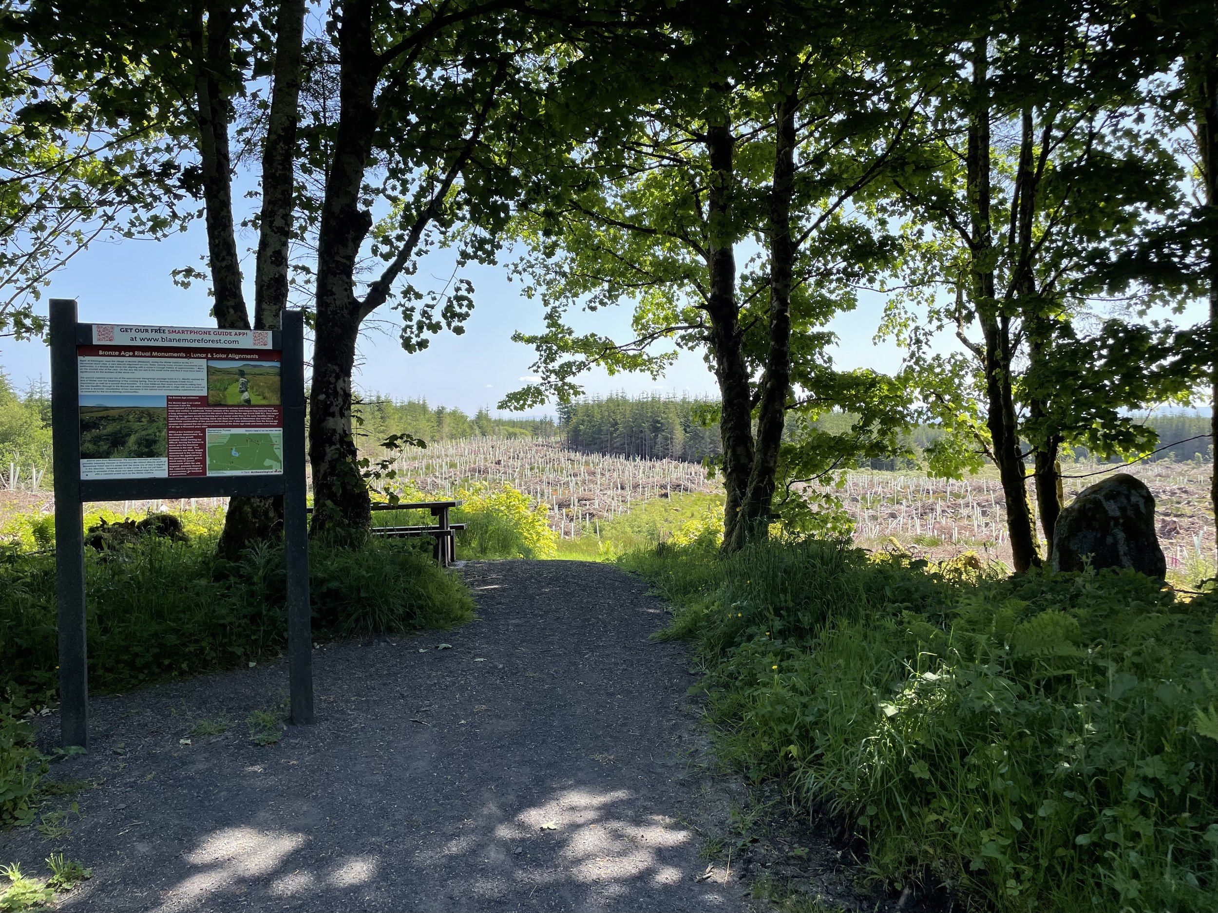

Download our Free Smartphone Self-Guide App*
*15 June 2026 UPDATE - THE POCKETSIGHTS APP HAS BEEN RETIRED, WE ARE WORKING ON A REPLACEMENT. APOLOGIES FOR ANY INCONVENIENCE
-
Trail Head Directions: When leaving Moygownagh Village to travel to Ballycastle, follow the R315 road northwards, passing the GAA Football Pitch and community centre. Take the first by-road (on left) after a distinctive ‘humpback’ bridge and continue on a tarred boreen for approx 2.5km, which then becomes a gravel bog road which can have an uneven surface in winter or after heavy rains, so care is required. Follow the GREEN ARROW signs. The Walk is signposted.
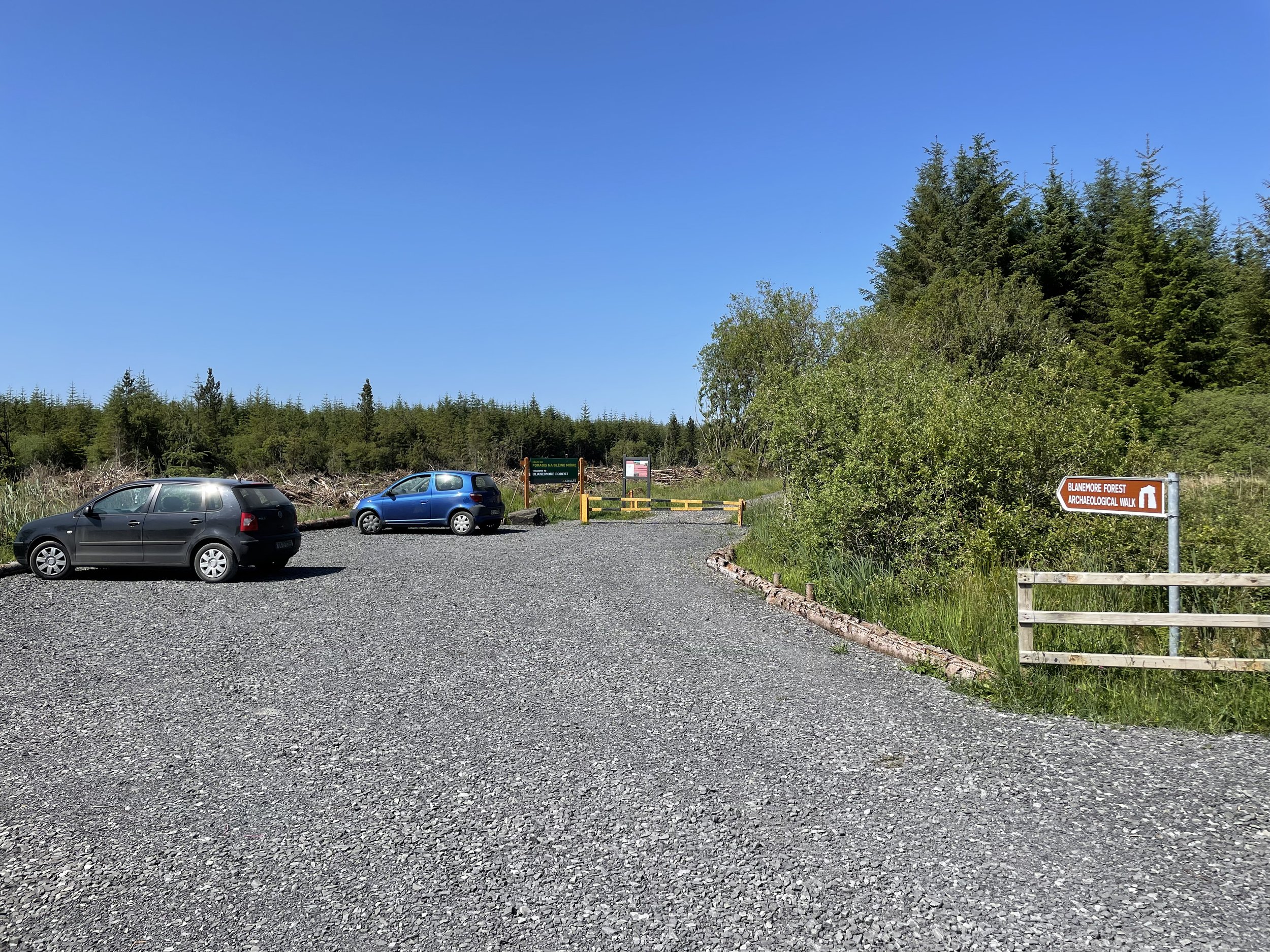
Trailhead: 54.17419, -9.39559 - at the car-park, by the entrance to Blanemore Forest.
EstimatedCompletion for Average Walker: 1hrs – 1hr 30min. Are Dogs Allowed?: Yes - on a leash please.
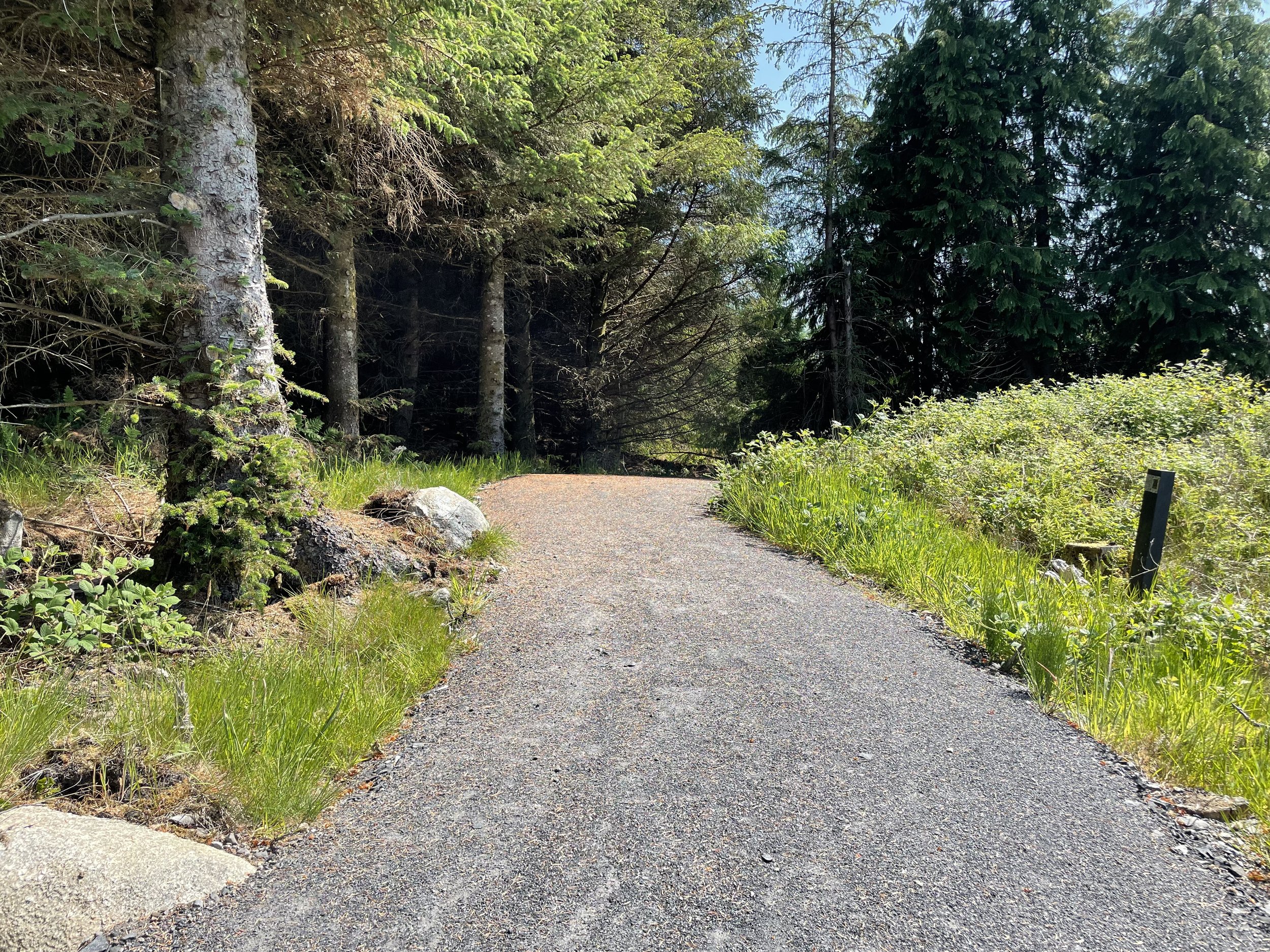
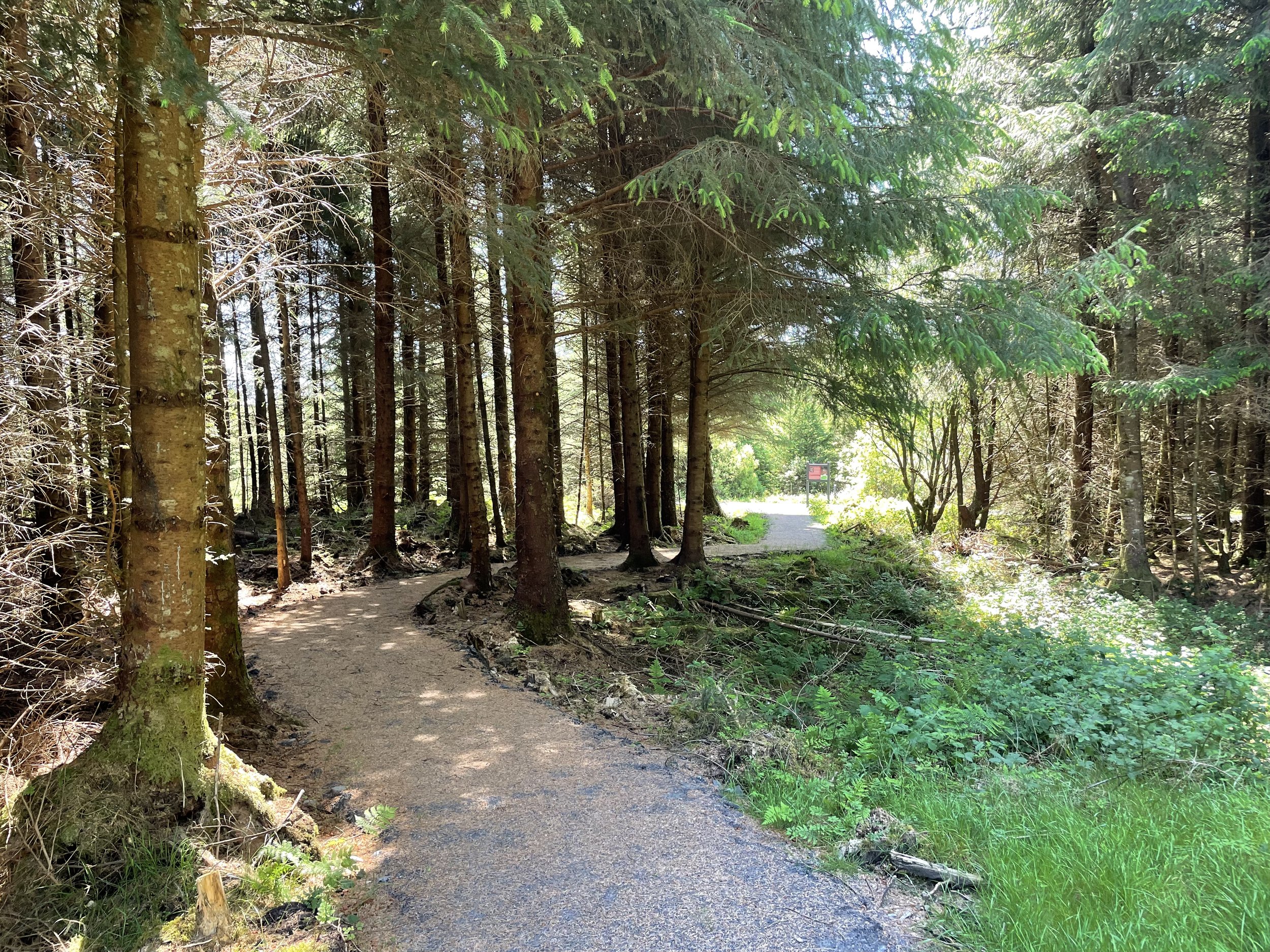
Terrain: Forestry Road, Bog road, Graded Paths; suitable for buggies.
Directions: Follow the Green Arrow Way-markers (Green arrow on white background)
Ascent: Highest point is a 20m ascent mid-way on the trail in Blanemore Forest, in a gentle incline.
Minimum Gear: Walking Shoes and Rain-Gear, Snacks & Fluids, Midge repellent recommended.
Services: None on site, 4km away is Moygownagh Village.
Distance: 3.7km, Trail Format: Loop, Grade (Difficulty): Easy.
Easy Grade Definition: Will include either Class 1 or Class 2 trails and flat sections of Class 3 and Class 4 trails. Routes can include some obstacles such as stiles, gates, steps etc. but these must be minimal. Should only have gentle slopes with no continuous climbing on the route.
Easy Trails are Suitable For: Family groups including children and the elderly. May be suitable for parents with buggies (should be denoted at trail head) or very small children. Normal outdoor footwear can be worn.
Further details can be found in the document: Classification and Grading for Recreational Trails ion
-
-
-
Blanemore Forest Walk is managed by Coillte Teo.
Email moygownaghmanager@gmail.com for further information or to report any issue.
A bhuíochas leis an tacaíocht ó / With thanks for the support of: